-
1614/34, Xl - Blaeu/hessel Gerrits - Russia, Empire, Moscow, Novgorod, Samara, Kazan, Ufa
-

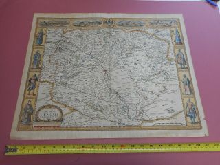
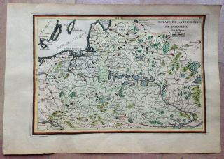
Hungary & Romania 1579 (1584) Ortelius Unusual Antique Copper Engraved Map
-

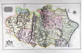
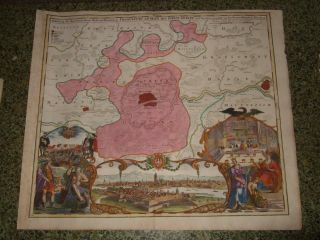
Brussels Bruxelles Belfium 1777 De Ferraris & Dupuis Large Antique Map Sheet Xxi
-

1616 Atlas Map Of Iceland.
-

Kazan Russia 1767 Le Clerc/lespinasse Antique Copper Engraved City View
-
![1899 Stanford, Folding Map Of Norwich, Norfolk, Arthur Collins, Jarrold & Sons,]()

1899 Stanford, Folding Map Of Norwich, Norfolk, Arthur Collins, Jarrold & Sons,
-
![1948 Vintage Linen Colour Map Geological Survey Ten Mile Of Great Britain]()

1948 Vintage Linen Colour Map Geological Survey Ten Mile Of Great Britain
-
![1944 Map Flying Bombs Sussex Ww2 Newspaper Military Kent Courier German V1 V2]()

1944 Map Flying Bombs Sussex Ww2 Newspaper Military Kent Courier German V1 V2
-
![Dated 1638 Vellum Map Of Icklesham Sussex Showing Land Uses Owners Etc]()

Dated 1638 Vellum Map Of Icklesham Sussex Showing Land Uses Owners Etc
-
![John Speed Map C1627 Invasions England & Ireland Engraved Armada Civil Wars]()
John Speed Map C1627 Invasions England & Ireland Engraved Armada Civil Wars
-
![Singapore 1964 Ordnace Survey Map]()
Singapore 1964 Ordnace Survey Map
-
![Stunning John Speed Map Of Hampshire, 1710 - 1743 With Hand Colouring.]()
Stunning John Speed Map Of Hampshire, 1710 - 1743 With Hand Colouring.
-
![1646, Merian, L - Russia, Empire, S. Petersburg, Moscow, Novgorod, Samara, Tyumen, Kazan, Ufa]()
1646, Merian, L - Russia, Empire, S. Petersburg, Moscow, Novgorod, Samara, Tyumen, Kazan, Ufa
-
![Poland 1739 Antique Map Lithuania Latvia Russia Belarus Baltics Homann]()
Poland 1739 Antique Map Lithuania Latvia Russia Belarus Baltics Homann
-
![Russia Lake Ladoga 1745 Academy Sciences St Petersburg Rare Antique Cyrillic Map]()
Russia Lake Ladoga 1745 Academy Sciences St Petersburg Rare Antique Cyrillic Map
-
![A Rare And Of The 1601 Theodore De Bry Map Of Nova Zembla.]()
A Rare And Of The 1601 Theodore De Bry Map Of Nova Zembla.
-
![Theodor De Bry " The Sea Coastes Of Portugal " The Mariners]()
Theodor De Bry " The Sea Coastes Of Portugal " The Mariners ' Mirrour
-
![Very Rare 1770 Carte Des Postes De France French Map Linen]()
Very Rare 1770 Carte Des Postes De France French Map Linen
-
![1640s, Xl - S. Russia, Ukraine, Moscow, Kiev, Charkiv, Voronezh, Rostov, Poltava, Novgorod]()
1640s, Xl - S. Russia, Ukraine, Moscow, Kiev, Charkiv, Voronezh, Rostov, Poltava, Novgorod
-
![1580s, Xl - Przecopsca - S. Russia, Ukraine, Moscow, Kiev, Crimea, Rostov, Donetsk, Voronezh]()
1580s, Xl - Przecopsca - S. Russia, Ukraine, Moscow, Kiev, Crimea, Rostov, Donetsk, Voronezh
-
![1700s, Xl - Ukraine, Kiev/kyiv, Kharkiv, Odessa, Dnipro, Donetsk, Zaporizhia, Lviv, Crimea]()
1700s, Xl - Ukraine, Kiev/kyiv, Kharkiv, Odessa, Dnipro, Donetsk, Zaporizhia, Lviv, Crimea
-
![1770, L - Plan, Moscow, Москва́, Russia, Red Square, Kremlin, Moskau, Moscovia, Moscou]()
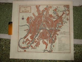
1770, L - Plan, Moscow, Москва́, Russia, Red Square, Kremlin, Moskau, Moscovia, Moscou
-
![1718, L - Gen. Map Czar, Russia, Moscow, St. Petersburg, Samara, Omsk, Kazan, Ufa, Volgograd]()
1718, L - Gen. Map Czar, Russia, Moscow, St. Petersburg, Samara, Omsk, Kazan, Ufa, Volgograd
-
![1596, Russia Empire, Moscow, Voronezh, Kazan, Samara, Rostov, Novgorod, Astrakhan, Perm]()
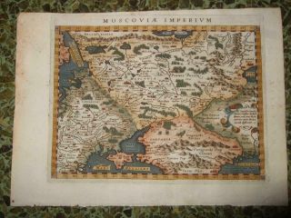
1596, Russia Empire, Moscow, Voronezh, Kazan, Samara, Rostov, Novgorod, Astrakhan, Perm
-
![1660sxl - Russia, Empire, Moscow, Novgorod, Kazan, Samara, Volgograd, Saratov, Rostov, Perm]()
1660sxl - Russia, Empire, Moscow, Novgorod, Kazan, Samara, Volgograd, Saratov, Rostov, Perm
-
![Pocket Map Of The Comstock Lode - Nevada]()
Pocket Map Of The Comstock Lode - Nevada
-
![Road From London To Barwick (6), Ogilby / Bowen. E, 1736]()
Road From London To Barwick (6), Ogilby / Bowen. E, 1736
-
![Speed Map C1676 Wales Counties Colour Engraved Basset & Chiswell]()
Speed Map C1676 Wales Counties Colour Engraved Basset & Chiswell
-
![Isle Malta Gozo Wind Rose Recueil Plans Mer Méditerranée Roux Copper Map 1800]()
Isle Malta Gozo Wind Rose Recueil Plans Mer Méditerranée Roux Copper Map 1800
-
![C1860 Cruchley Isle Of Wight Hampshire Sussex Sheet 12 Iow Old Antique Map Rare]()
C1860 Cruchley Isle Of Wight Hampshire Sussex Sheet 12 Iow Old Antique Map Rare
-
![Tsarist Russia Empire Period (1884) Map Of Kazan]()
Tsarist Russia Empire Period (1884) Map Of Kazan
-
![1737, Xl - Frauendorff, Crimea, Крым, Sevastopol, Simferopol, Kerch, Yalta, Russia, Ukraine]()

1737, Xl - Frauendorff, Crimea, Крым, Sevastopol, Simferopol, Kerch, Yalta, Russia, Ukraine
-
![1750/60sxl - S. Russia, Ukraine, War Map, Tatary - Crimea, Kiev, Sevastopol, Yalta, Cossacks]()
1750/60sxl - S. Russia, Ukraine, War Map, Tatary - Crimea, Kiev, Sevastopol, Yalta, Cossacks
-
![1730s, Xl - S. Russia, Ukraine, War Map, Tatary - Crimea, Kiev, Rostov, Donetsk, Cossacks]()
1730s, Xl - S. Russia, Ukraine, War Map, Tatary - Crimea, Kiev, Rostov, Donetsk, Cossacks
-
![1734, Xl - Ingria, With View Of St. Petersburg. Russia, Petergof, Kolpino, Gatshina[narva]()
1734, Xl - Ingria, With View Of St. Petersburg. Russia, Petergof, Kolpino, Gatshina[narva
-
![1720s, Xl - View, Panorama Of Moscow Москва́, Russia, Moskau, Moscovie, Moscovia]()
1720s, Xl - View, Panorama Of Moscow Москва́, Russia, Moskau, Moscovie, Moscovia
-
![1580s, Xl - Mercator - Russia, Empire, Moscow, Novgorod, Samara, Kazan, Ufa, Perm]()
1580s, Xl - Mercator - Russia, Empire, Moscow, Novgorod, Samara, Kazan, Ufa, Perm
-
![Rare Map 1820 W H Buckland Analysis Of The History Of England Copper Engraving]()
Rare Map 1820 W H Buckland Analysis Of The History Of England Copper Engraving
-
![Vintage Sheet Map Of The Isle Of Wight Wight Island Circa. 1600]()
Vintage Sheet Map Of The Isle Of Wight Wight Island Circa. 1600 ' S
-
![1854 Germany Antique Hand Coloured Map By Carl Flemming]()
1854 Germany Antique Hand Coloured Map By Carl Flemming
-
![1720s, L - View Bologna, Italy, Italia, Italien, Italie, Bodenehr, Emilia Romagna]()
1720s, L - View Bologna, Italy, Italia, Italien, Italie, Bodenehr, Emilia Romagna
-
![Amsterdam Netherlands 1701 De Fer Unusual Antique Copper Engraved Map]()
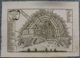
Amsterdam Netherlands 1701 De Fer Unusual Antique Copper Engraved Map
-
![Old Antique Map The Rape Of Chichester Sussex C1815 By Neele Hand Colour]()
Old Antique Map The Rape Of Chichester Sussex C1815 By Neele Hand Colour
-
![Utrecht Netherlands 1625 Guicciardini Antique Copper Engraved City View]()
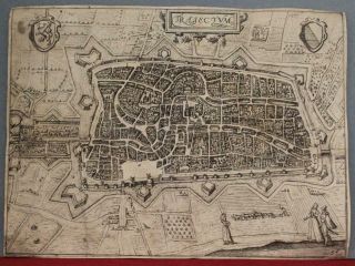
Utrecht Netherlands 1625 Guicciardini Antique Copper Engraved City View
-
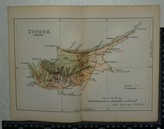
![Vintage Admiralty Chart 2074 Cyprus 1892 Edn]()
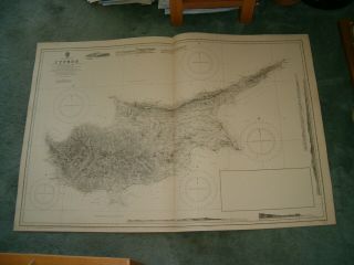
Vintage Admiralty Chart 2074 Cyprus 1892 Edn
-
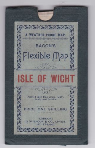
![Bacon]()
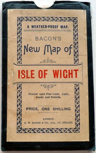
Bacon ' S Waterproof Map Of Isle Of Wight C. 1895 In Slip Case
-
![Cyprus Jodocus Hondius, Copper Engraving 140 Ab 185 Mm, Modern Colour Map]()
Cyprus Jodocus Hondius, Copper Engraving 140 Ab 185 Mm, Modern Colour Map
-
![The Hague Netherlands 1705 De Fer Unusual Antique Copper Engraved City Map]()
The Hague Netherlands 1705 De Fer Unusual Antique Copper Engraved City Map
-
![1895 Map Railway London & Suburbs North Western Waterloo Kings Cross]()
1895 Map Railway London & Suburbs North Western Waterloo Kings Cross
-
![Paris France 1705 Nicolas De Fer Unusual Antique Copper Engraved City Map]()
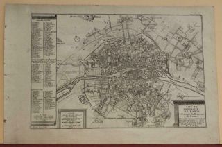
Paris France 1705 Nicolas De Fer Unusual Antique Copper Engraved City Map
-
![Antique And Very Rare Pre - 1919 Bacon]()
Antique And Very Rare Pre - 1919 Bacon ' S Flexible Map Of The Isle Of Wight.
-
![1616 Lovely Bertius Map Of Iceland & Greenland]()
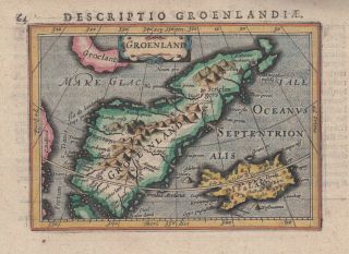
1616 Lovely Bertius Map Of Iceland & Greenland
-
![1884 Austria Hungary Habsburg Empire Large Coloured Antique Map By W. G. Blackie]()
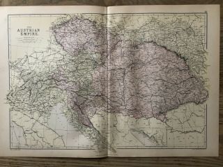
1884 Austria Hungary Habsburg Empire Large Coloured Antique Map By W. G. Blackie
-
![1859 North Italy Hand Coloured Antique Map By W. G. Blackie]()
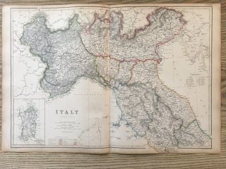
1859 North Italy Hand Coloured Antique Map By W. G. Blackie
-
![George Philip & Son R. A. C. 1 " :1 Mile Linen Backed Map Of London Routes - C. 1936]()
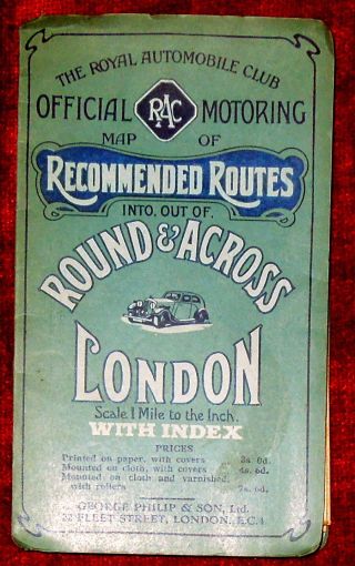
George Philip & Son R. A. C. 1 " :1 Mile Linen Backed Map Of London Routes - C. 1936
-
![Bordeaux France 1940s Foldout Map Of The City And Guide Booklet Vintage]()
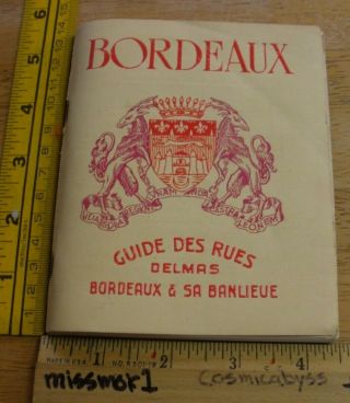
Bordeaux France 1940s Foldout Map Of The City And Guide Booklet Vintage
-
![1901 Vintage Colonial Office Map Of Cyprus]()
1901 Vintage Colonial Office Map Of Cyprus
-
![1895 Map Isle Of Wight Newport Ventnor Ryde West Cowes Culver Cliff]()
1895 Map Isle Of Wight Newport Ventnor Ryde West Cowes Culver Cliff
-
![Greece 60]()
Greece 60 ' S Vintage Chart Map Of Thessaly Larissa Political Tourist
-
![Greece Peloponnese Bory Saint Vincet 1832 Messene Messinia Port Modon Methoni]()
Greece Peloponnese Bory Saint Vincet 1832 Messene Messinia Port Modon Methoni
-
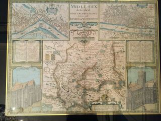
![1805 John Cary Folio Map - Middlesex, England - London Area - Camden]()
1805 John Cary Folio Map - Middlesex, England - London Area - Camden ' S Britannia
-
![1720sxl - Frankfurt With View Hessen, Hanau, Sachsenhausen, Höchst, Offenbach, Germany]()
1720sxl - Frankfurt With View Hessen, Hanau, Sachsenhausen, Höchst, Offenbach, Germany
-
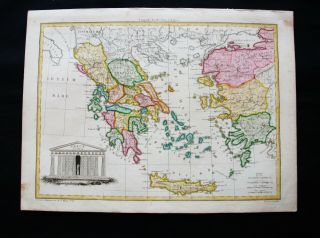
![Early Jonh Speed Map Of Greece]()
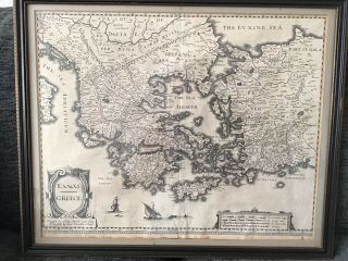
Early Jonh Speed Map Of Greece
-
![100 Large Hungary Map By John Speed C1676 Vgc Hand Coloured]()
100 Large Hungary Map By John Speed C1676 Vgc Hand Coloured
-
![1832 Sduk: Map/ City Plan Of Athens]()
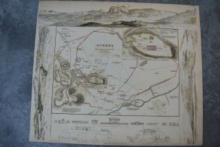
1832 Sduk: Map/ City Plan Of Athens
-
![Antique Map Rome Italy Town Street Plan Old 19th Century Europe]()
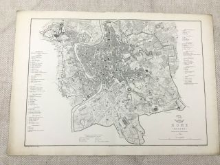
Antique Map Rome Italy Town Street Plan Old 19th Century Europe
-
![Nystrom Pull Down America Map Globe School Mcnally Vtg Classroom Usa Wall Europe]()
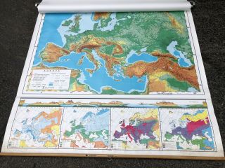
Nystrom Pull Down America Map Globe School Mcnally Vtg Classroom Usa Wall Europe
-
![Antique Atlas Map Yorkshire, John Speed, Pub. Sudbury & Humble, C. 1646]()
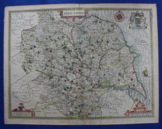
Antique Atlas Map Yorkshire, John Speed, Pub. Sudbury & Humble, C. 1646
-
![1781 Vaugondy Map World America United States Africa Europe Australia Asia Rare]()
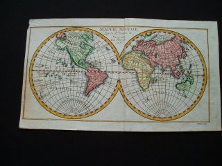
1781 Vaugondy Map World America United States Africa Europe Australia Asia Rare
-
![Cambridge: Vintage Pictorial Map By Kerry Lee, C1948]()
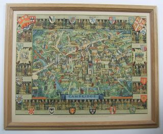
Cambridge: Vintage Pictorial Map By Kerry Lee, C1948
-
![James Wyld]()

James Wyld ' S Linen Backed Plan Of London & Its Vicinity - 1875
-
![Vintage Rare Large Wall Map South America Brazil Argentina Amazon Chile Peru Rio]()
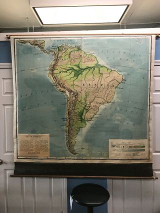
Vintage Rare Large Wall Map South America Brazil Argentina Amazon Chile Peru Rio
-
![1776 Ireland - Engraved Antique Map Of County Of Carlow With Colour]()
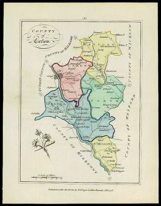
1776 Ireland - Engraved Antique Map Of County Of Carlow With Colour
-
![The Kingdom Of Ireland By Joan Bleau 1635 - 62 Metalic Framed Map]()
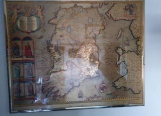
The Kingdom Of Ireland By Joan Bleau 1635 - 62 Metalic Framed Map
-
![Antique View Of Dardanelles, Turkey, Venetian Fleet, Constantinople, Merian, 1646]()
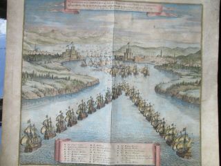
Antique View Of Dardanelles, Turkey, Venetian Fleet, Constantinople, Merian, 1646
-
![Early 17th Century, Hand Coloured Engraving, Herefordshire, By J. Speede, C. 1610]()
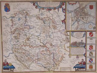
Early 17th Century, Hand Coloured Engraving, Herefordshire, By J. Speede, C. 1610
-
![Large Cased Geological Survey Map - 1894 Edition Cautley]()
Large Cased Geological Survey Map - 1894 Edition Cautley
-
![United Kingdom & Ireland 1701 Nicolas De Fer Unusual Antique Copper Engraved Map]()
United Kingdom & Ireland 1701 Nicolas De Fer Unusual Antique Copper Engraved Map
-
![Xxxl 1940]()
Xxxl 1940 ' S Map Of The Europe Das Neue Politische Gesicht Mitteleuropas
-
![1686 Lovely Porcacchi Map Of Rhodes]()
1686 Lovely Porcacchi Map Of Rhodes
-
![Antique Map, Warsaw / Warszawa S. D. U. K. C. 1842]()
Antique Map, Warsaw / Warszawa S. D. U. K. C. 1842
-
![Lithuania Poland Latvia Russia 1700 De Fer Unusual Antique Copper Engraved Map]()
Lithuania Poland Latvia Russia 1700 De Fer Unusual Antique Copper Engraved Map
-
![1748 Unusual Map Poland Lithuania Ukraine Belarus Warsaw Vilnius Lwow]()
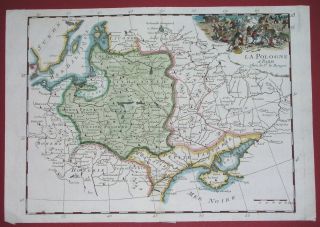
1748 Unusual Map Poland Lithuania Ukraine Belarus Warsaw Vilnius Lwow
-
![Corsica / L]()
Corsica / L ' Isle De Corse From J. Ellis Sculp. T 1768 /1780 Antique Map
-
![Rare 1783 Map Of Corsica. L]()
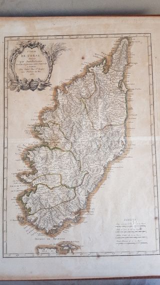
Rare 1783 Map Of Corsica. L ' Isle De Corse Divisee Par Juridictions
-
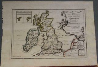
![Rare Tallis Map, The British Isles, Europe, 1850s]()
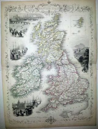
Rare Tallis Map, The British Isles, Europe, 1850s
-
![Antique Regency Map Sampler Needlepoint Britain Ireland]()
Antique Regency Map Sampler Needlepoint Britain Ireland
-
![Portugal 1736 Johann Baptist Homann Antique Copper Engraved Map]()
Portugal 1736 Johann Baptist Homann Antique Copper Engraved Map
-
![Middelburg Netherlands 1652 Blaeu Scarce Antique Copper Engraved City Map]()
Middelburg Netherlands 1652 Blaeu Scarce Antique Copper Engraved City Map
-
![Vintage Linen Backed Maps Bundle Scotland Ordnance Survey Cairn Gorms Etc]()
Vintage Linen Backed Maps Bundle Scotland Ordnance Survey Cairn Gorms Etc
-
![Poland Dated 1717 By Nicolas De Fer 18e Century Unusual Antique Engraved Map]()
Poland Dated 1717 By Nicolas De Fer 18e Century Unusual Antique Engraved Map
-
![1881 Map]()
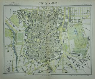
1881 Map ' City Of Madrid ' By Thomas Letts
-
![P Vidal - Lablache Vintage School Map. No. 27 Germany/austria/poland. (1mx1m20).]()
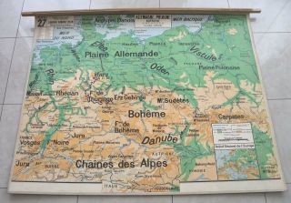
P Vidal - Lablache Vintage School Map. No. 27 Germany/austria/poland. (1mx1m20).
-
![Antique 1610 Map Of London And Westminster]()
Antique 1610 Map Of London And Westminster
-
![Vintage Cloth School Map]()
Vintage Cloth School Map
-
![London 1616 & 1890 Huge Panoramic Birds - Eye Views Over 125 Years Old]()
London 1616 & 1890 Huge Panoramic Birds - Eye Views Over 125 Years Old
-
![Kent: 2 1 - Inch Old Series Ordnance Survey Maps, Sheets 3 And 6:]()
Kent: 2 1 - Inch Old Series Ordnance Survey Maps, Sheets 3 And 6:
-
![1821 Lavoisne Map - World History Chart - Roman & Medieval Europe To 1000 Ad]()
1821 Lavoisne Map - World History Chart - Roman & Medieval Europe To 1000 Ad
-
![Vintage Rare Large Wall School Map Europe Homeschool Chalk Board Made In Usa]()
Vintage Rare Large Wall School Map Europe Homeschool Chalk Board Made In Usa
-
![Year 1800 Amsterdam Holland Tinted City Map By John Stockdale]()
Year 1800 Amsterdam Holland Tinted City Map By John Stockdale
-
![1856 Colton Map Of Turkey In Europe, Macedonia, And The Balkans]()
1856 Colton Map Of Turkey In Europe, Macedonia, And The Balkans
-
![Vintage 1899 Relief Map Of Europe Central School Supply House Antique Rare Map]()
Vintage 1899 Relief Map Of Europe Central School Supply House Antique Rare Map
-
![1575 La Cosmograhie Volume 1 Belle - Forest Map Of Paris]()
1575 La Cosmograhie Volume 1 Belle - Forest Map Of Paris
-
![Antique Map Of Italy. Thomas Bowen Middleton]()
Antique Map Of Italy. Thomas Bowen Middleton ' S C1778. Sardinia. Sicily. Rome.
-
![Big Map Of Federal Yugoslavia 1995 - Karta Savezne Republike Jugoslavije]()
Big Map Of Federal Yugoslavia 1995 - Karta Savezne Republike Jugoslavije
-
![Antique Reynold]()
Antique Reynold ' S Map Of London And Its Suburbs 1888
-
![Antique Maps, A Mapp Of St Andrews Holborn Parish As Well Within The Liberty]()
Antique Maps, A Mapp Of St Andrews Holborn Parish As Well Within The Liberty
-
![1804 Cary]()
1804 Cary ' S Map Of England Wales Scotland Great Britain Pocket Companion Roads
-
![C1840 Pocket Map Devon Miniature Antique Old Chapman Hall V Scarce With Slipcase]()
C1840 Pocket Map Devon Miniature Antique Old Chapman Hall V Scarce With Slipcase
-
![Poland C. 1750 By John Senex 18e Century Very Large Antique Engraved Map]()
Poland C. 1750 By John Senex 18e Century Very Large Antique Engraved Map
-
![Frederick De Wit Nova Totius Angliae Scotiae Et Hiberniae British Isles 1680]()
Frederick De Wit Nova Totius Angliae Scotiae Et Hiberniae British Isles 1680
-
![European Continent 1744 Emanuel Bowen Antique Copper Engraved Map]()
European Continent 1744 Emanuel Bowen Antique Copper Engraved Map
-
![Antique Map Oxford Cambridge University City Plan 19th Century Old Colleges]()
Antique Map Oxford Cambridge University City Plan 19th Century Old Colleges
-
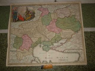
![Hungary Romania Balkan Countries 1790 Seutter & Probst Unusual Large Antique Map]()
Hungary Romania Balkan Countries 1790 Seutter & Probst Unusual Large Antique Map
-
![Antique Map, The North Prospect Of Ye Cathedral Church Of Hereford]()
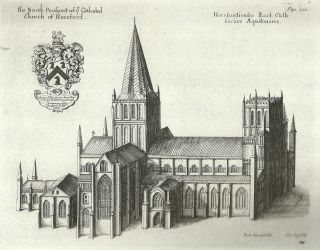
Antique Map, The North Prospect Of Ye Cathedral Church Of Hereford
-
![1810 Lapie - Rare Map: Greece, Balkans, Montenegro, Macedonia, Romania, Bulgaria]()
1810 Lapie - Rare Map: Greece, Balkans, Montenegro, Macedonia, Romania, Bulgaria
-
![Pictorial Map Of The Thames & Medway Valleys By Alexander Gross. F. R. G. S]()
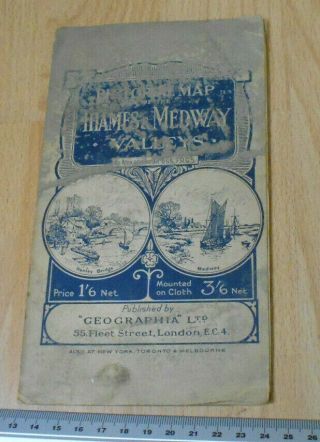
Pictorial Map Of The Thames & Medway Valleys By Alexander Gross. F. R. G. S
-
![Calais Boulogne - Sur - Mer Cambrai France 1587 Ortelius Unusual Antique Engravedmap]()
Calais Boulogne - Sur - Mer Cambrai France 1587 Ortelius Unusual Antique Engravedmap
-
![Scandinavia Russia 1787 Schraembl Wall Two Sheets Antique Copper Engraved Map]()
Scandinavia Russia 1787 Schraembl Wall Two Sheets Antique Copper Engraved Map
-
![Narbonne France 1740 De L]()
Narbonne France 1740 De L ' Isle & Covens/mortier Antique Copper Engraved Map
© 2022, avaluer.net, Inc. or its affiliates